
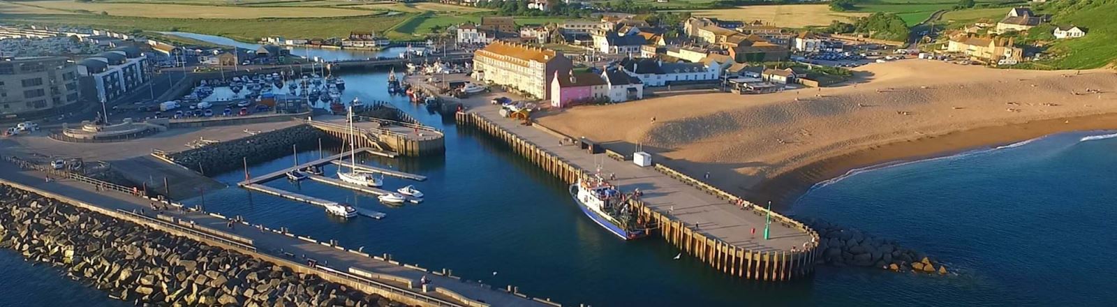


West Bay
The Port of Bridport lies in 50° 42.6’N, 002° 45.8’ W, in the North-East part of Lyme Bay. It is a single basin formed at the mouth of the River Brit, but the river is now held behind a dam and sluice gates at the inner side of the harbour, and there is no navigational connection between the two. The new harbour at West Bay consists of a single tidal basin which largely dries out at low water. Originally the port was in Bridport town, some two miles upriver, but silting and a difficult navigation made a new outer harbour necessary, and the basin of West Bay was created in Victorian times.
In 2005 Bridport harbour mouth was extensively rebuilt to make the entrance safer; an outer basin and entrance were created set at an angle to lessen the weather effect in the entrance. Except for strong South-Easterlies, this new construction has been effective.
The tidal range at Bridport is a maximum of 4.6m on highest spring tides, and a minimum of 0.9m on slackest neap tides.
Bridport Harbour is used by a fleet of small fishing boats, some charter boats, and leisure craft of various types. There is no commercial traffic (other than fishing boats) The inner basin is completely filled with small craft moorings. Only small fishing boats and yachts can enter, and a length of 21m, beam 3.75m, and draft 2.4m, would be considered the maximum practicable in the harbour.

A pontoon facility is provided in the middle of the Harbour on a seasonal basis (normally April to September). The pontoon is a system made of modular plastic construction and is secured to the seabed with chains and weights. There are four fingers the seaward end of which are lit (White, 1 flash every 10). Caution is advised because of varying depths at low water. Visitors are advised to seek confirmation of available water before mooring.
